Ghana and Columbia University Launch Historic Air Pollution Mapping Project Covering Two Decades
For most of Ghana’s history, understanding the quality of the air its citizens breathe has depended on a simple question: is there a monitoring station nearby? For the vast majority of the country, the answer has been no. That is about to change in a way that could reshape environmental policy for years to come.
Ghana’s Environmental Protection Authority has formalised a partnership with Columbia University’s Lamont-Doherty Earth Observatory to produce a comprehensive map of PM2.5 levels — the fine particulate matter most dangerous to human health — across the entire country, stretching back to 2005. The dataset, known as GRASP (Gridded Africa Surface Pollution), combines NASA satellite imagery that passes over Ghana at least twice daily with ground-level sensor readings collected over the past decade, using machine learning to fill gaps in areas that have never had a single air quality monitor.
The stakes are enormous. Air pollution kills approximately 32,000 Ghanaians every year and costs the country an estimated $2.5 billion annually — roughly 4.5 per cent of GDP, according to World Bank figures. Selina Amoah, Head of Air Quality at the EPA, confirmed the scale of the problem: particulate matter concentrations exceed national air quality standards in most monitoring locations across the country.
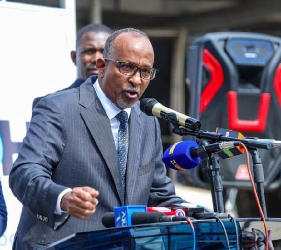
Dr Daniel Westervelt, the Columbia scientist who built the GRASP system, travelled to Ghana earlier this year to train EPA staff on how to use the data. “Going back 20-plus years, there’s not a lot of air quality data at the surface in that time period in Ghana,” he explained. “There was some work by EPA and others over the years, but it’s been a little bit sparse. So we had to find another way.”
The tool has already produced its first policy-relevant finding — and it is not encouraging for proponents of Ghana’s short-lived emissions levy. Introduced in February 2024, the levy charged vehicle owners an additional fee with the stated co-benefit of reducing air pollution. It was scrapped by the incoming government before completing a full year. When the Columbia team analysed the data, the conclusion was unambiguous: there was no statistically significant change in PM2.5 levels between the pre-levy and post-levy periods.
Westervelt is careful not to dismiss emissions pricing as a policy tool entirely — he points to New York City’s congestion charge as an example of where it works — but argues the preconditions were not in place. “You have to first build up the infrastructure for public transit. You have to address poverty, incomes,” he said. “I just don’t think that they’re currently in that position in Ghana.”
His more immediate recommendations are pragmatic: restrict imports of old, high-polluting vehicles, expand cleaner public transport, and subsidise cleaner cooking fuels. Vehicles and household cooking, he says, are the two dominant sources of PM2.5 in the country. “The traditional way of cooking with wood or charcoal is very polluting, to put it frankly. Governments can look towards subsidising alternative methods that would allow folks to accomplish what they need to do in their cooking, but by emitting a lot less pollution.”
The data paints a picture of stagnation rather than crisis or improvement. Annual average PM2.5 in Accra has hovered between 25 and 26.5 micrograms per cubic metre since 2021. The WHO annual guideline is 5. “It strikes me as very high,” Westervelt said. “If you look at major cities in Europe or the US, you would see concentrations of maybe less than half of what you’re seeing in Accra.”
Ghana has made genuine progress in environmental regulation — it was the first country in West Africa to phase out leaded gasoline, the first to move to low-sulphur diesel, and now operates 15 regulatory monitors and 28 local sensors across five cities. New air quality management regulations, LI 2507, were published in 2025. But the EPA itself acknowledges that virtually the entire population remains exposed to air above WHO guidelines.
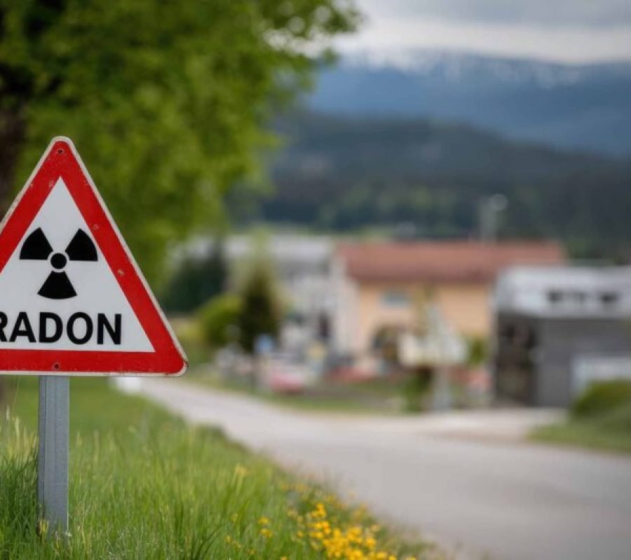
The GRASP partnership gives Ghana something it has never possessed: a continuous, independent, freely accessible record of how its air has changed over two decades. The data is available at the GRASP website with an interactive map, downloadable data, and tools for generating charts by city or region. As the country works to refine its understanding of environmental health risks — from particulate matter to naturally occurring radon gas in areas like Weija and McCarthy Hill — having robust baseline data becomes essential for holding future policies accountable.
“I hope that we can start to turn the corner a little bit,” Westervelt said, “and everyone can breathe cleaner air in the near future.”
The data now exists to measure whether that hope is realised. What comes next depends on political will.
Image Source: MYJOYONLINE