Google unveils biggest-ever Street View expansion in Ghana with sharper imagery and wider coverage
Google’s Street View expansion marks a significant leap in how Ghana’s landscapes are documented and accessed worldwide. The tech giant’s latest rollout brings sharper, higher‑resolution imagery to cities, highways and historic sites, representing the most comprehensive update since the service first launched in the country in 2016. By deploying an ultra‑portable, high‑resolution camera for the first time in Ghana, Google says it can refresh coverage more frequently, particularly along the coast and along key arterial routes such as the N10, N12 and N2 highways.
The update encompasses Accra and Kumasi, including landmarks like the National Theatre of Ghana and Kejetia Market, while also extending to UNESCO‑listed forts along the Gulf of Guinea, traditional Asante structures near Kumasi, the Volta River corridor, and popular beaches along the southern coastline. Sporting venues such as the Accra Sports Stadium and Baba Yara Stadium are now rendered in greater detail, offering virtual visitors a clearer sense of place.
Beyond the visual upgrade, the expansion carries broader implications for tourism, education and urban planning. By making cultural heritage sites more accessible to a global audience, Street View can stimulate interest in domestic travel and support preservation efforts. Researchers and educators gain a tool for remote study of geography and history, while city planners can use the imagery for infrastructure assessments and disaster preparedness.
Google’s initiative also touches on the ongoing conversation about digital inclusion. As Ghana pushes to close the digital divide—ensuring that every child has access to technology and online resources—projects like Street View demonstrate how private sector investment can complement public goals. The move follows recent discussions on digital readiness, echoing the sentiment that access to high‑quality mapping data is not merely a convenience but a component of broader technological empowerment.
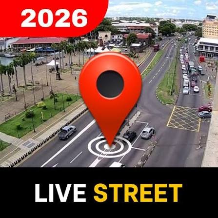
For users, accessing the updated imagery remains straightforward: on desktop, dragging the yellow Pegman icon onto highlighted roads in Google Maps reveals the street‑level view; on mobile, tapping a location pin or enabling the Street View layer achieves the same result. Google representatives expressed enthusiasm about the rollout, noting that the refreshed imagery highlights some of the nation’s most important historical and natural attractions.
As Google continues to invest in mapping accuracy worldwide, the Ghana expansion serves as a reminder that even regions traditionally underrepresented in digital cartography can benefit from targeted technological interventions. The updated Street View not only showcases the country’s rich tapestry of urban and rural landscapes but also invites the world to explore Ghana’s streets with unprecedented clarity.
Image Source: MYJOYONLINE


